
 Polski
 Deutsch
 Slovenský
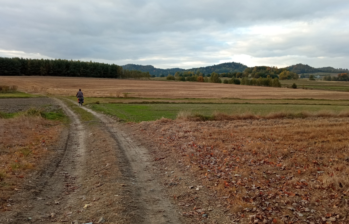
The Wodąca Valley straddles the boundary between the regions of Lesser Poland (Małopolska) and Upper Silesia (Śląsk).
The name is derived from the lack of a permanent watercourse, caused by the absorbent bed of limestone typical of the Polish Jurassic [Jura Krakowsko-Częstochowska].
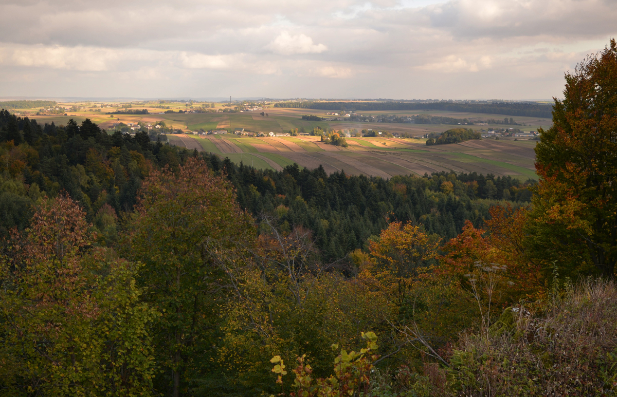
The valley is an attractive landscape, a natural and cultural area that is mostly covered with forests and numerous limestone outcrops: Biśnik, Skały Zegarowe, Grodzisko Pańskie and others. Caves also abound here – in one, the Biśnik cave, the oldest traces of human activity were discovered, dating to 500,000 BC. The findings are evidence of human and animal settlement that intermittently spanned approximately 400,000 years. The cave is 96 m long, and excavation works are still ongoing.
In another cave, remnants of a 17th-century counterfeit coin workshop were found. In medieval times, there were fortifications on the Grodzisko Pańskie and Grodzisko Chłopskie rocks.
Towering above the valley, the Skały Zegarowe rocks are one of the largest and most picturesque rock formations of the Polish Jurassic. Their white walls stand out from the treetops and their peaks offer vistas of the Jura and Beskidy mountains. Their name (the Clock Rocks) is allegedly derived from either a clock or a bell whose tolling was heard in one of the caves on Christmas Eve and Midsummer Eve.
The valley is home to mountainous sycamore forests (which are quite uncommon in lower-situated areas) with hart’s-tongue fern, a rare and protected species.

