Polski
Deutsch
Slovenský
a
a
a
a
Tourist trails of Małopolska
Toggle navigation
Start
Trails
Places
map
Mobile app
PTTK mountain refuge on Magura Małastowska
Tourist infrastructure
/
PTTK Mountain shelter
Tourist infrastructure
/
GOPR (Mountain Rescue)
49°32'49"N
21°13'52"E
(49.547035, 21.23138)
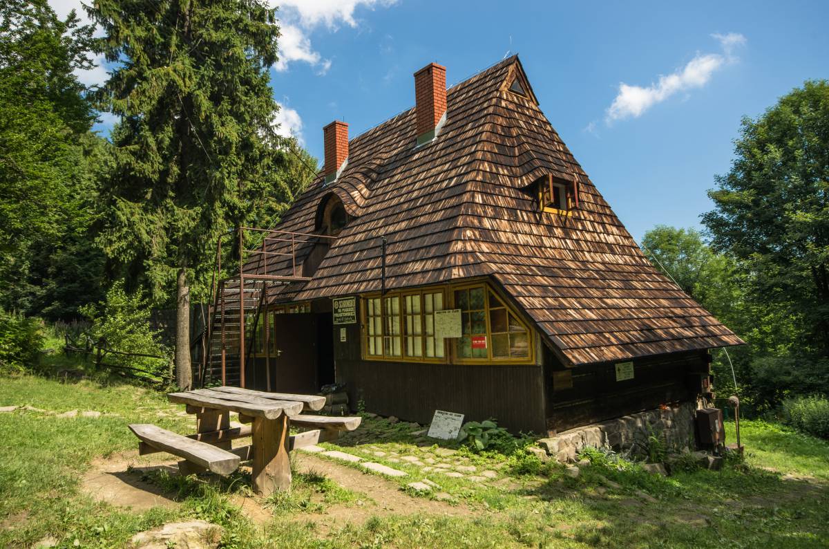
710 m n. p. m.
Plan a route
See map
This place is on trails:
Bacówka PTTK w Bartnem - Szalowa PKP
41.6 km
14:00 h
Homola - Schronisko PTTK pod Magurą Małastowską
14.0 km
4:45 h
Maślana Góra - Czerteż
49.5 km
18:15 h
Pętla rowerowa na Magurze Małastowskiej
Uście Gorlickie - Wierch
26.5 km
Get the app
Our website uses cookies, incl. for statistical purposes. If you do not want them to be saved on your hard drive, change your browser settings.
More on this...
I accept cookies from this website